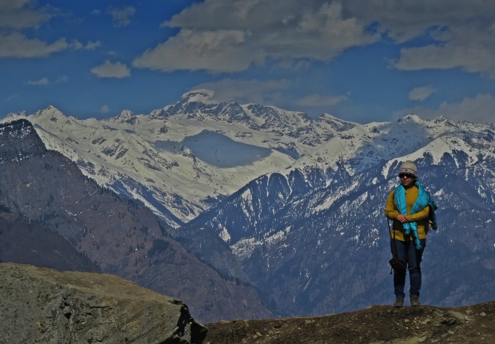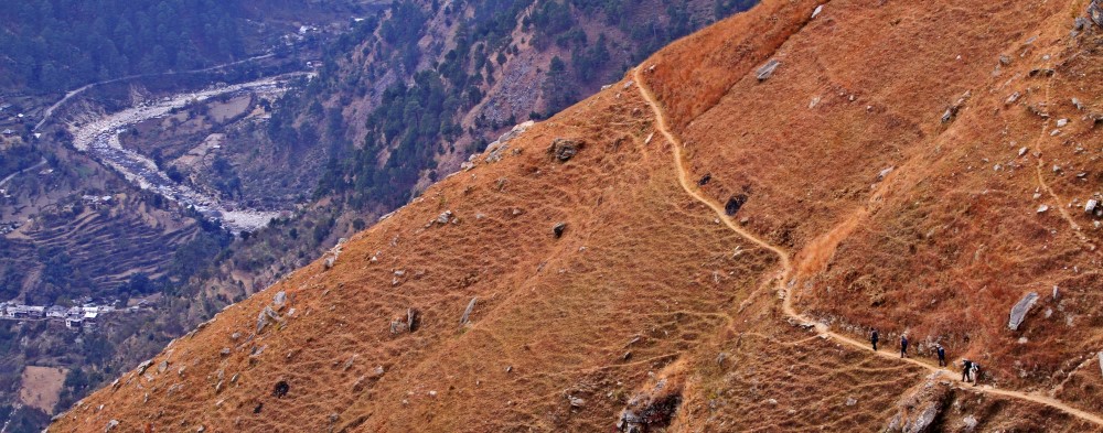
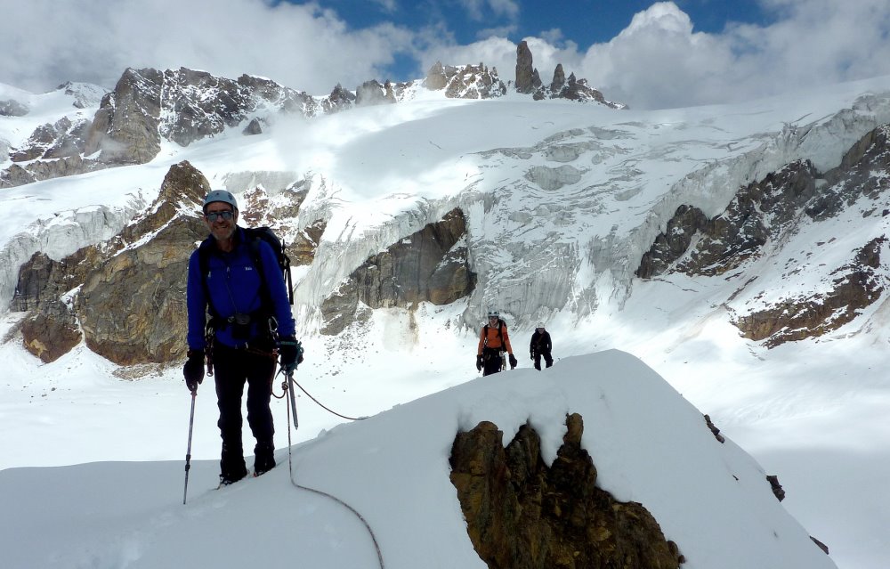
An adventurous 10-day expedition into the remote wilderness of Great Himalayan National Park, combining alpine meadows, high-altitude camps and an optional Yeshe Peak summit attempt.
Yeshe Peak can be presented as a high-altitude mountaineering extension of the Tirath–Saketi trek in the Great Himalayan National Park (GHNP), reached through the remote upper Tirthan Valley. This itinerary combines forest trekking, alpine meadows, acclimatisation and a dedicated summit window. Important: The exact Yeshe Peak summit route, technical grade and current access arrangements need confirmation with GHNP authorities and an experienced local climbing team. The schedule below is a proposed expedition framework, not a verified summit-route description.
Trek at a Glance
| Feature | Details |
| Duration | 10 Days / 9 Nights |
| Starting Point | Gushaini, Tirthan Valley |
| Ending Point | Gushaini, Tirthan Valley |
| Region | Great Himalayan National Park, Himachal Pradesh |
| Highest Objective | Yeshe Peak – altitude to be verified |
| Difficulty | Difficult / Mountaineering Expedition |
| Trek Type | High-Altitude Trek & Summit Attempt |
| Key Camps | Rolla, Nada Thach, Majhoni & Upper Valley Camp |
| Day 1 Camp Altitude | Approx. 2,100 m |
| Highest Listed Camp | Approx. 3,800 m at Majhoni |
| Major Highlight | Yeshe Peak Summit Attempt |
| Landscape | Dense Forests, Alpine Meadows & High-Altitude Valleys |
| Acclimatisation | Dedicated rest and route-reconnaissance day |
| Weather Reserve | Included for summit attempt and descent flexibility |
| Accommodation | Tented Camps |
| Best For | Experienced Trekkers & Mountaineering Enthusiasts |
Highlights
- 🏞️ Remote Wilderness: Explore the upper Tirthan Valley and GHNP.
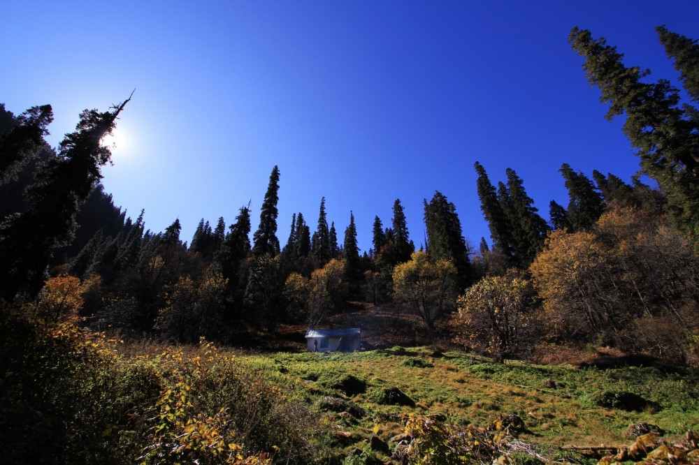
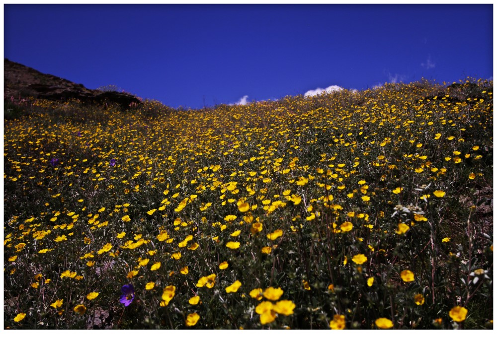
- 🌲 Diverse Landscapes: Trek from dense forests to alpine meadows.
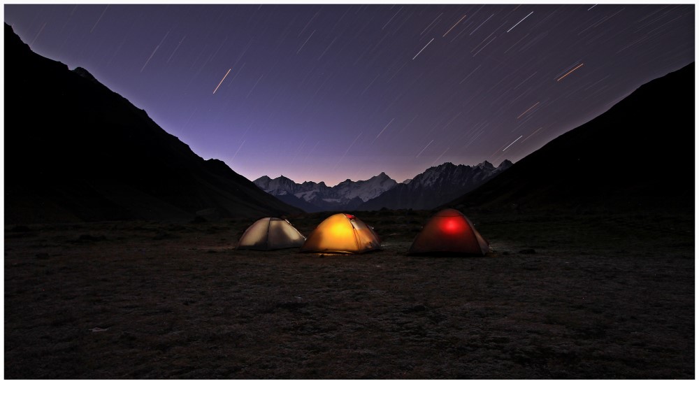
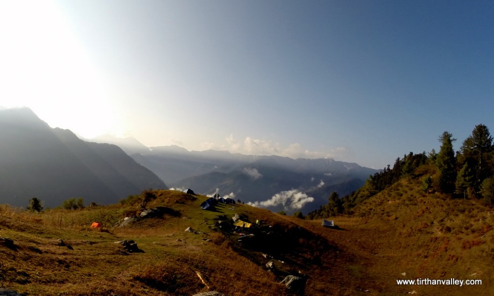
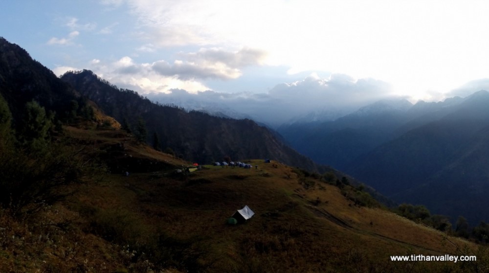
- 🏕️ High Meadow Camps: Experience camping in remote mountain settings.
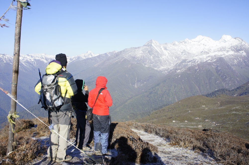
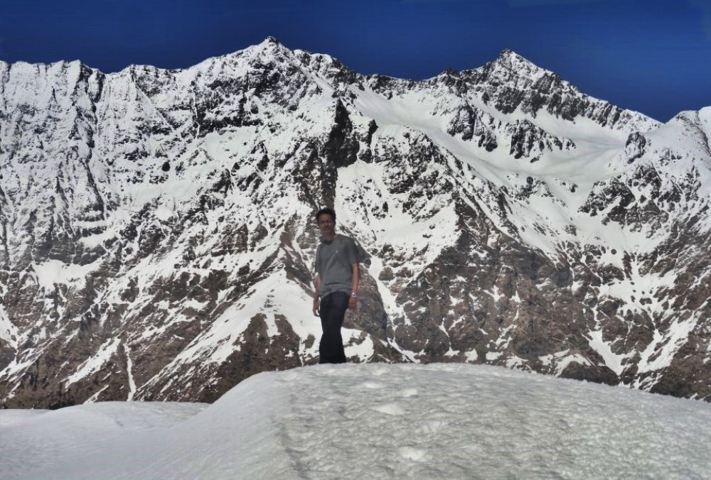
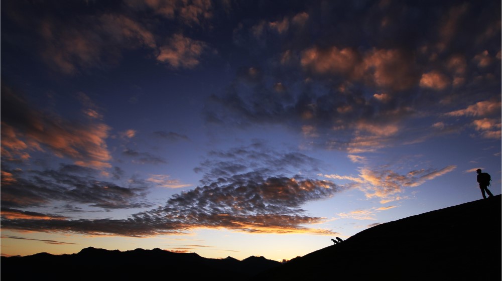
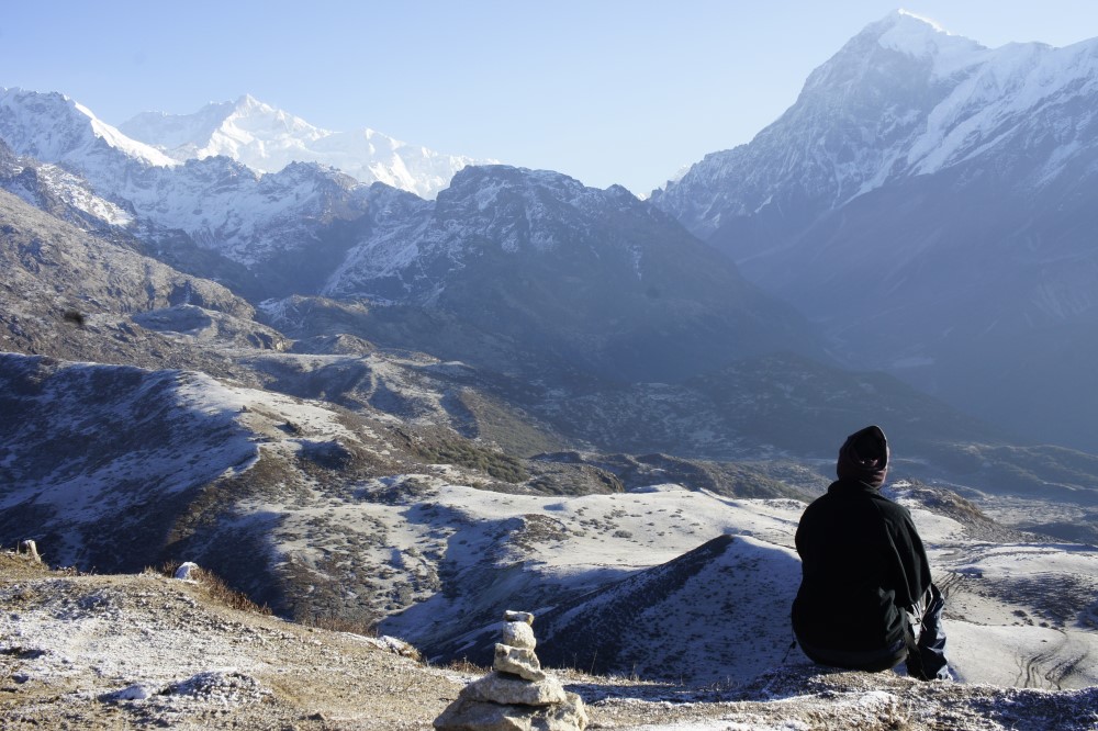
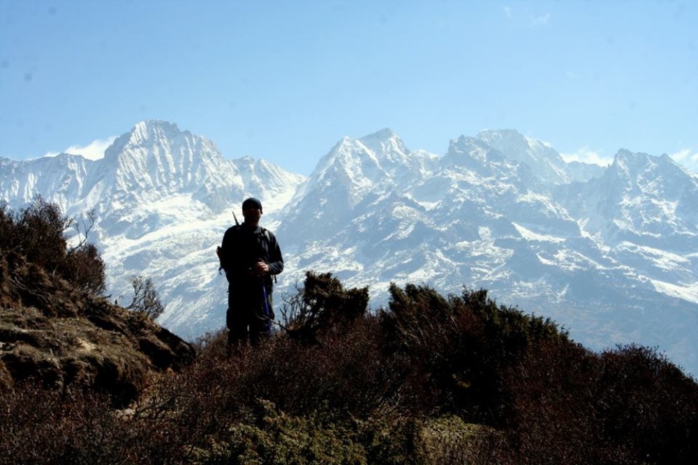
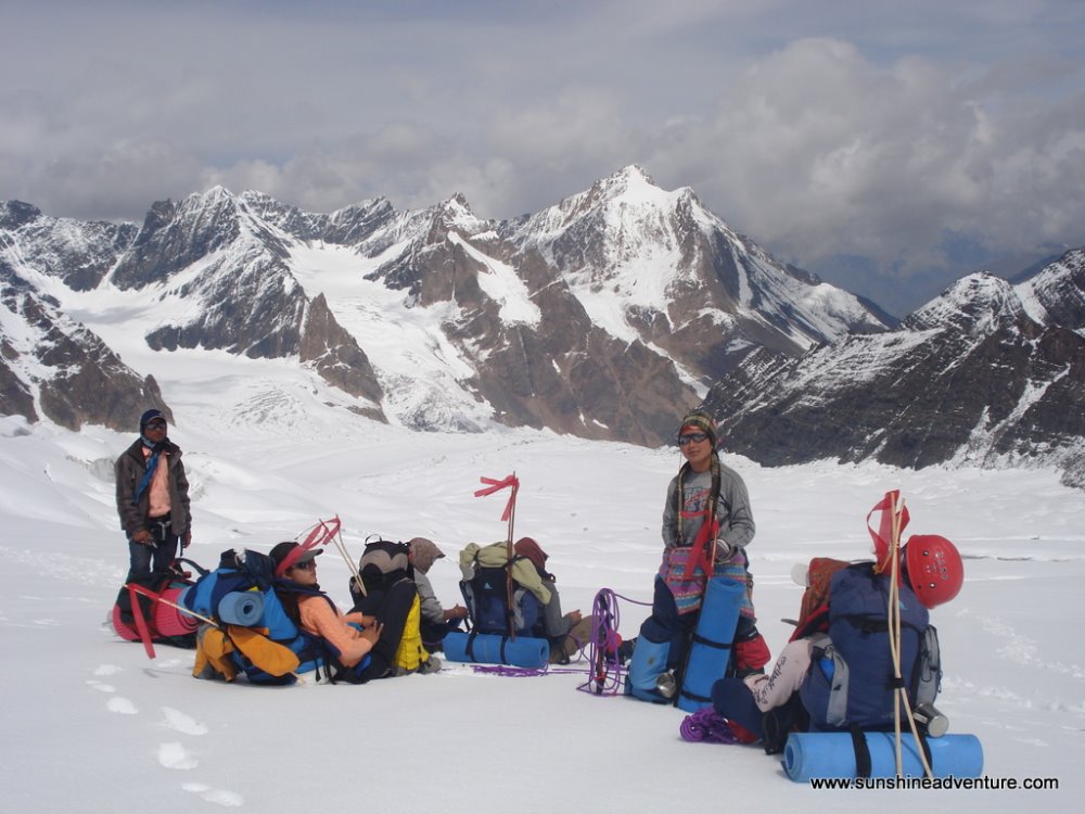
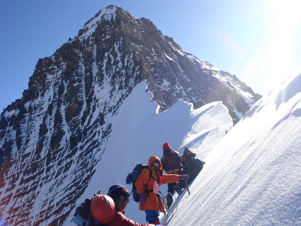
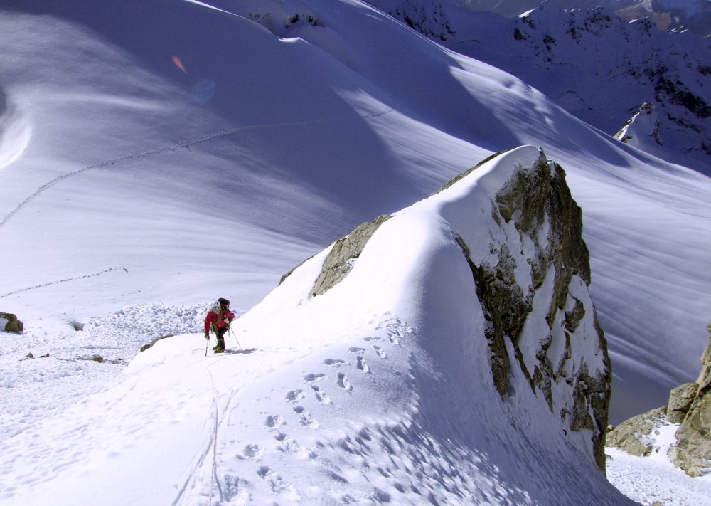
- 🏔️ Mountaineering Challenge: Combine acclimatisation with a summit objective.
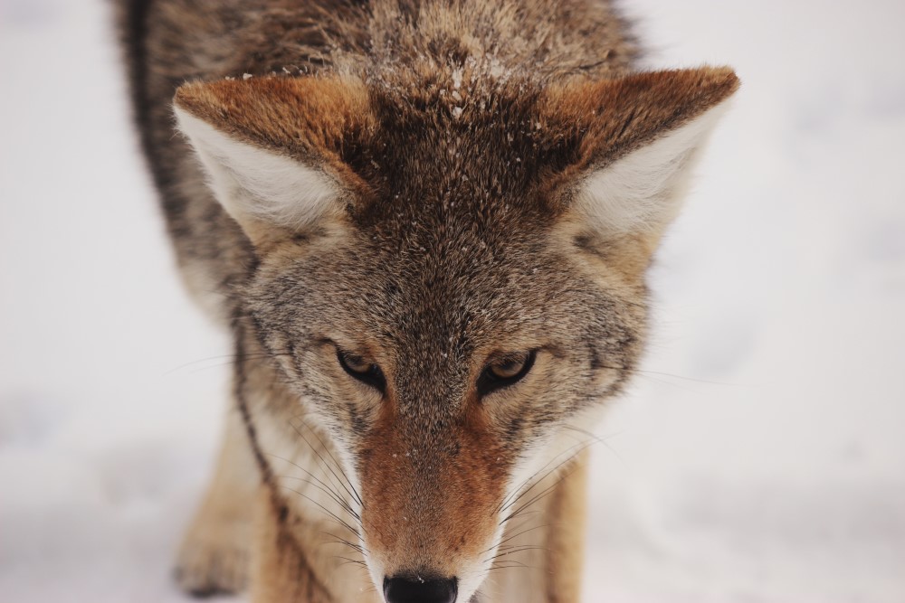
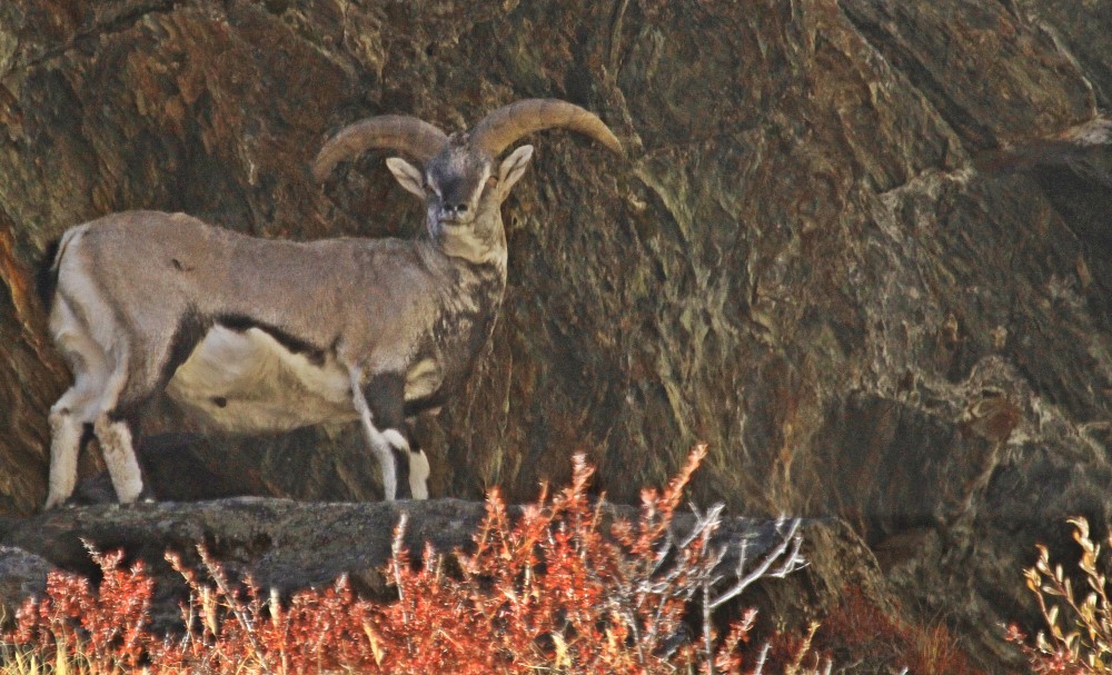
- 📸 Photography & Birdwatching: Capture mountain scenery and observe wildlife responsibly.
- 🧗 Optional Summit Attempt: Subject to route verification, authorisation and safe conditions.
Itinerary
9–10 km · Approx. 4–5 hours · Camp around 2,100 m
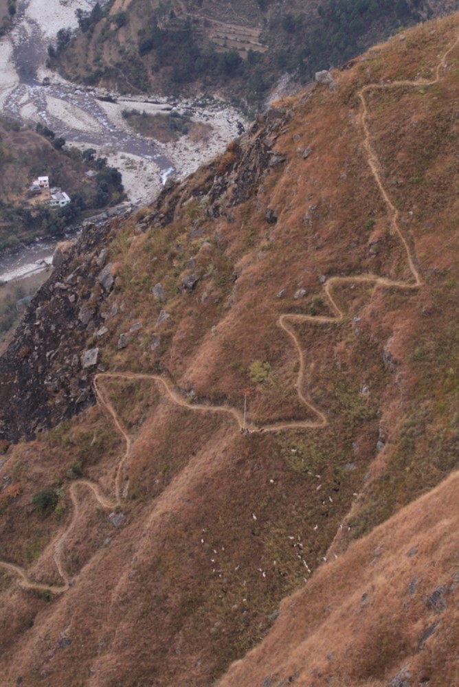
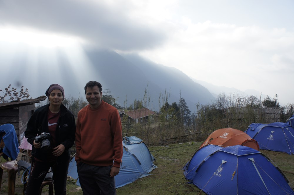
Begin from Gushaini and follow the Tirthan River through the lower forest trails of the park's ecozone. Meet the trekking team, settle into camp and prepare equipment for the higher-altitude stages.
Approx. 12 km · Camp around 3,300 m
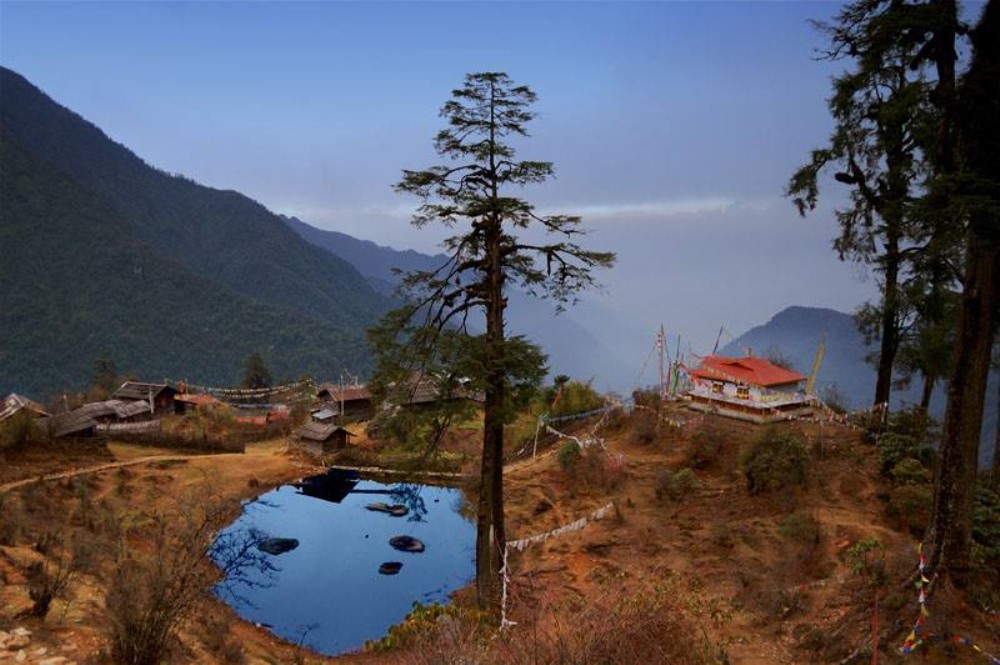
Climb through oak and conifer forests towards Nada Thach, a high meadow known for its birdlife and mountain scenery. This is a demanding ascent; maintain a steady pace and hydrate regularly.
A UNESCO World Heritage
Approx. 12 km · Camp around 3,800 m
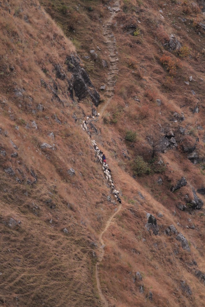
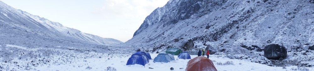
Continue into the upper valley through increasingly remote terrain. Allow time for the steep and uneven sections, and monitor everyone for signs of altitude illness before proceeding higher.
High-altitude trekking · Camp location subject to local route verification
Head towards the sacred Tirath area and, only if the authorised route and conditions permit, continue towards Saketi's high meadows. This stage should be planned with the local guide because the published standard Tirath itinerary and the mountaineering extension are not identical.
No fixed distance · Rest and preparation day
Rest, check weather and inspect the proposed approach with the climbing leader. Review the route, equipment, turnaround time and emergency plan. Avoid unnecessary altitude gain if anyone develops symptoms.
Distance, ascent and duration to be confirmed by the climbing team
Start early only if the route has been verified and the weather is suitable. Attempt the summit with a qualified mountaineering leader, then return to the designated high camp. The precise climbing line and technical requirements must be assessed on the ground; a summit cannot be guaranteed.
Flexible day
Keep this day as a weather contingency or use it to descend towards Majhoni, depending on the actual summit route, team condition and camp locations. If the summit is unsafe, abandon the attempt rather than extending the expedition recklessly.
Approx. 12 km if descending from Majhoni
Retrace the authorised trekking route through the upper valley. After several days at altitude, take care on steep descents and keep the group together.
Approx. 12 km · Overnight camp
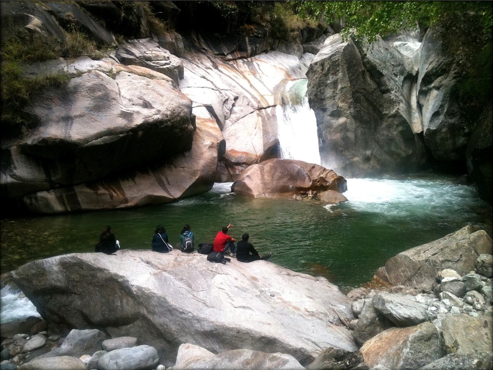
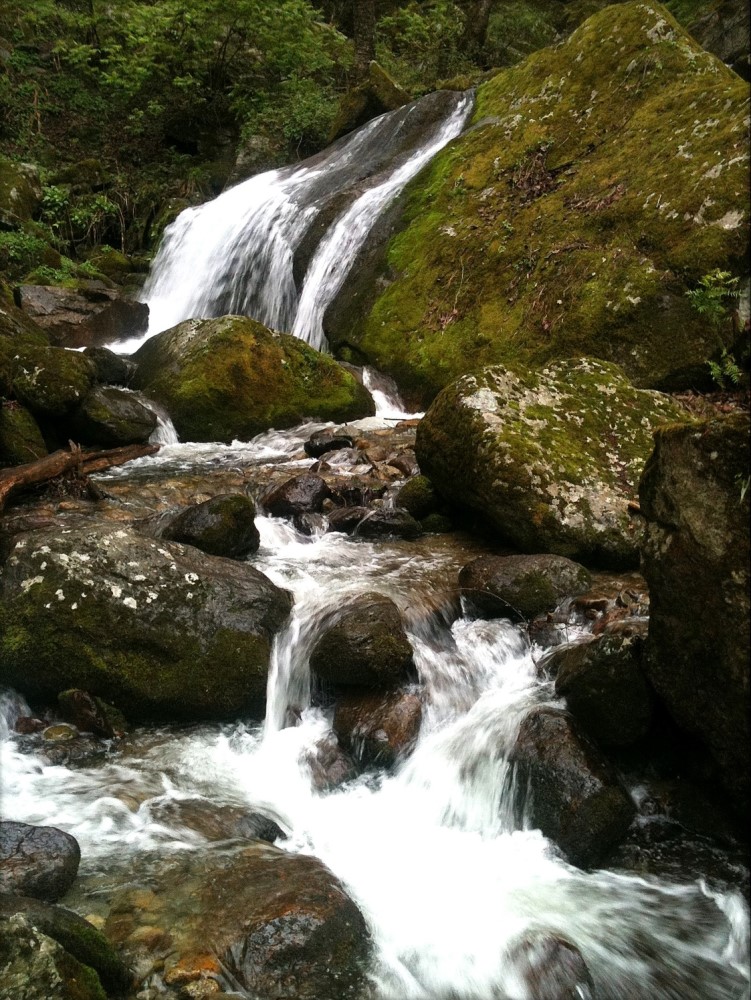
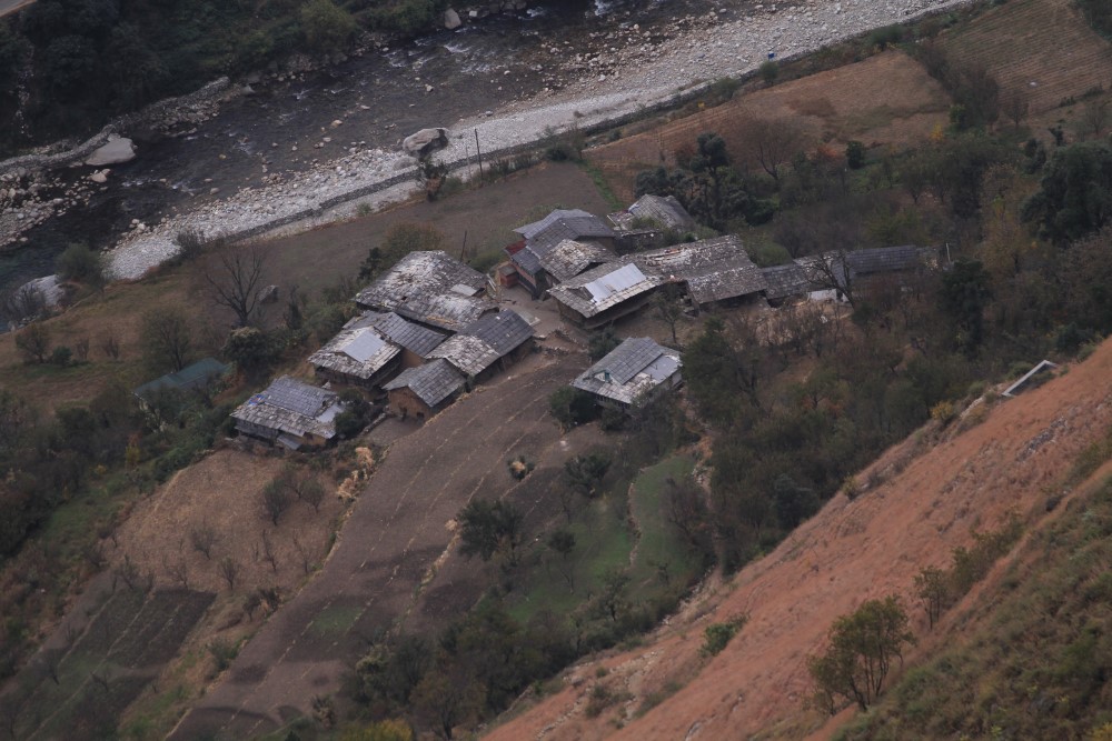
Descend through forest and river-valley scenery to Rolla. Distances and walking times should be adjusted to the approved camps and actual return line.
Approx. 9–10 km · Trek concludes
Follow the trail back to Gushaini and conclude the expedition. Arrange onward transport in advance, allowing flexibility for weather or delays.